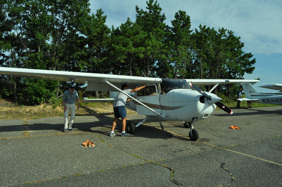
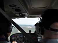
  1 The plane, and Eric, our friend who took us with him to MV. |
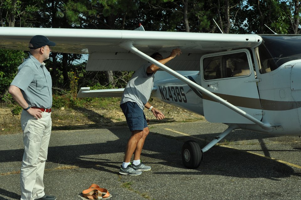
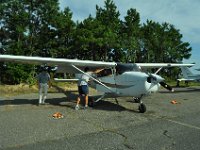
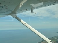
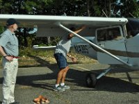 2 Checking every detail before departure. |
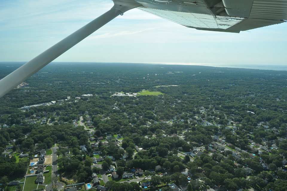
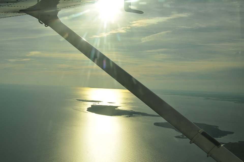
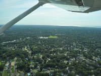 3 Started on Islip Airport, looking down on the neighbors. |
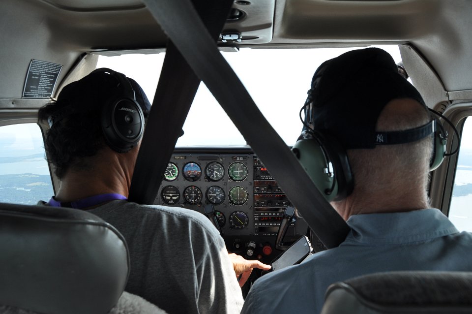
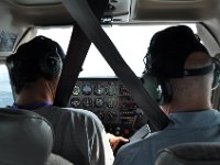 4 Annika was in charge of picture taking, Eric was flying and I was helping with the radio and the maps. |
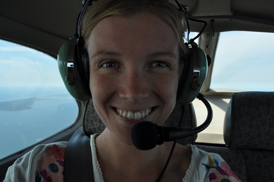
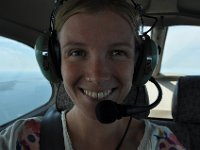 5 A selfie. |
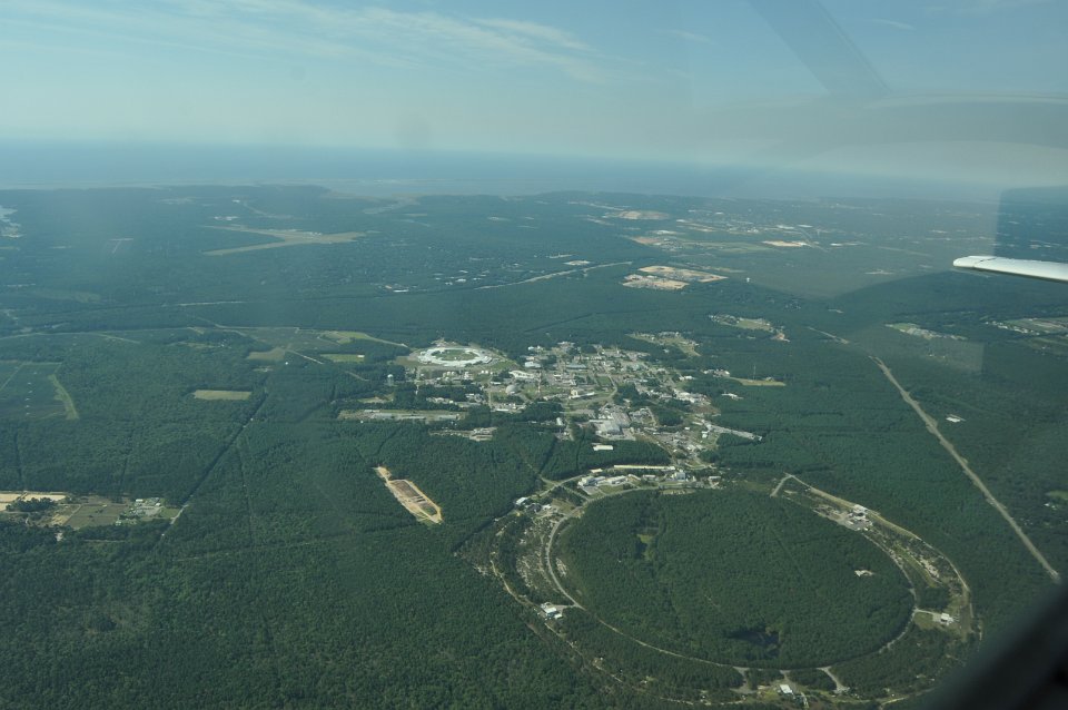
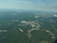 6 Aerial of Brookhaven National Laboratory. |
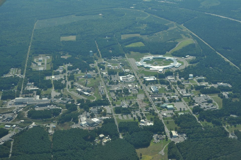
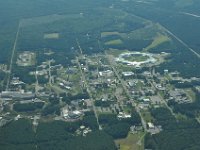 7 The central campus of Brookhaven National Laboratory. |
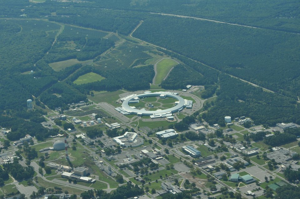
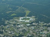 8 NSLS-II, the big ring building in the middle, and Eric's and my workplace. |
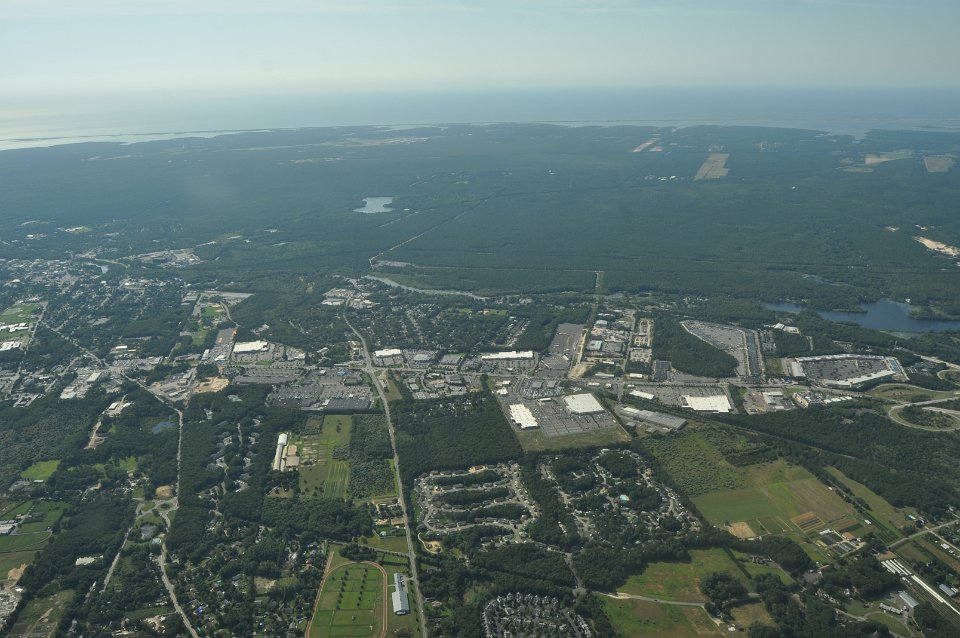
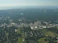 9 Riverhead, commercial area. |
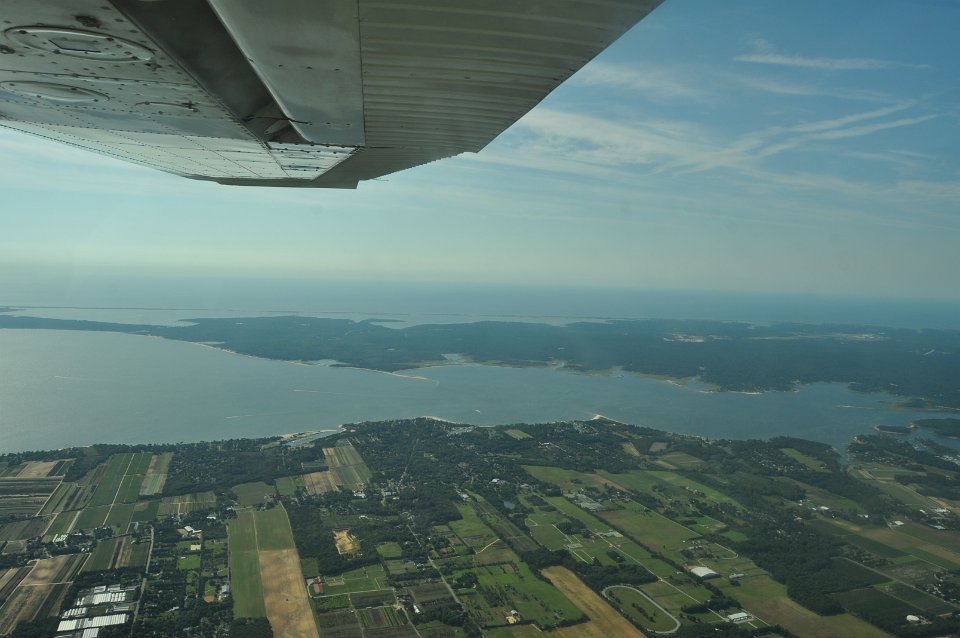
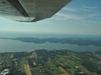 10 Flanders Bay. |
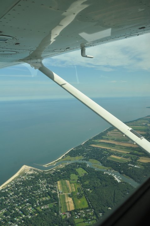
 11 Mattituck Inlet, northern shore. |
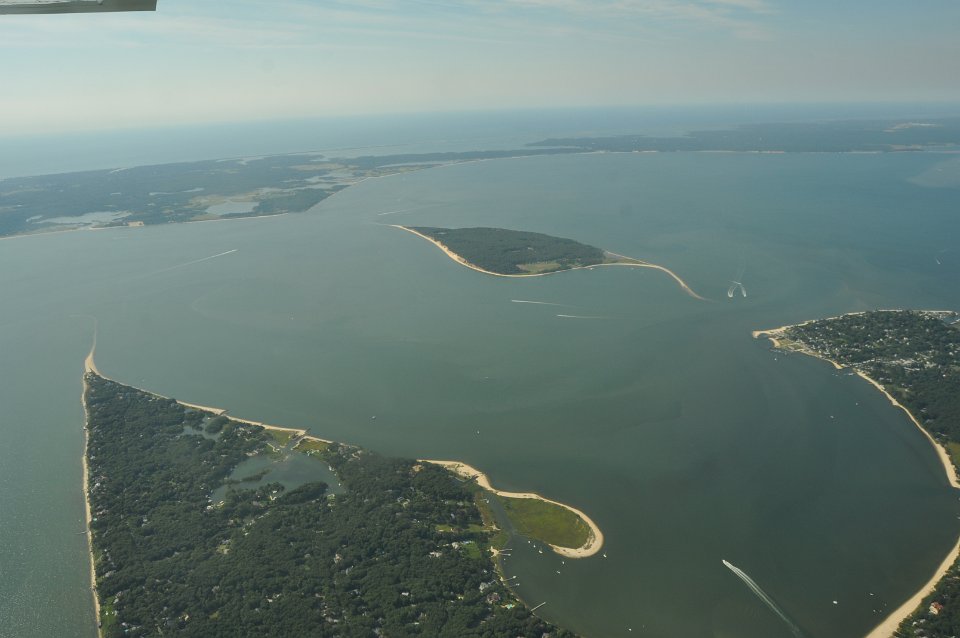
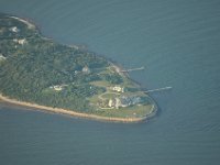
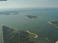 12 Robins Island in the Peconic Bay. |
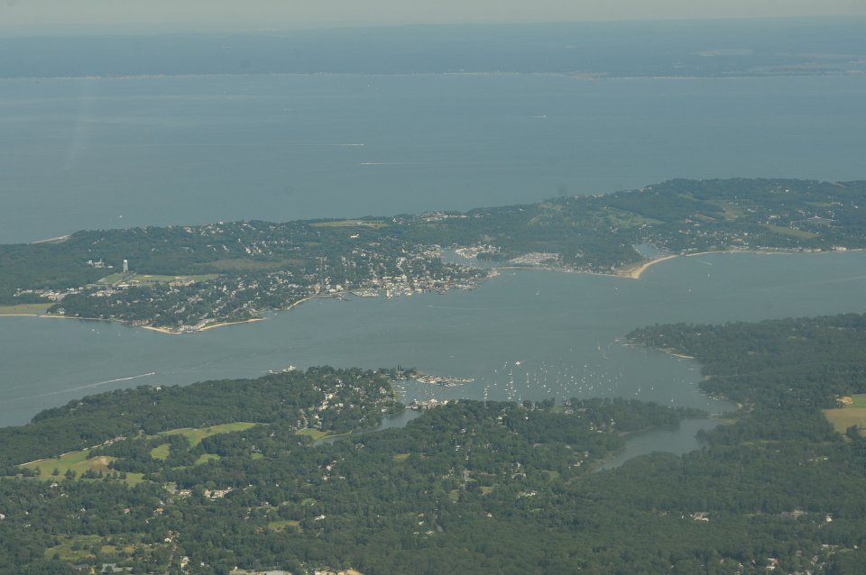
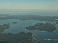
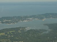 13 Greenport and Shelter Island. |
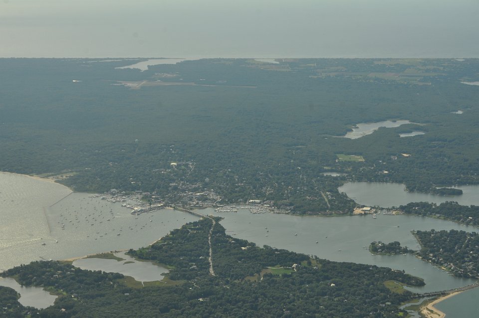
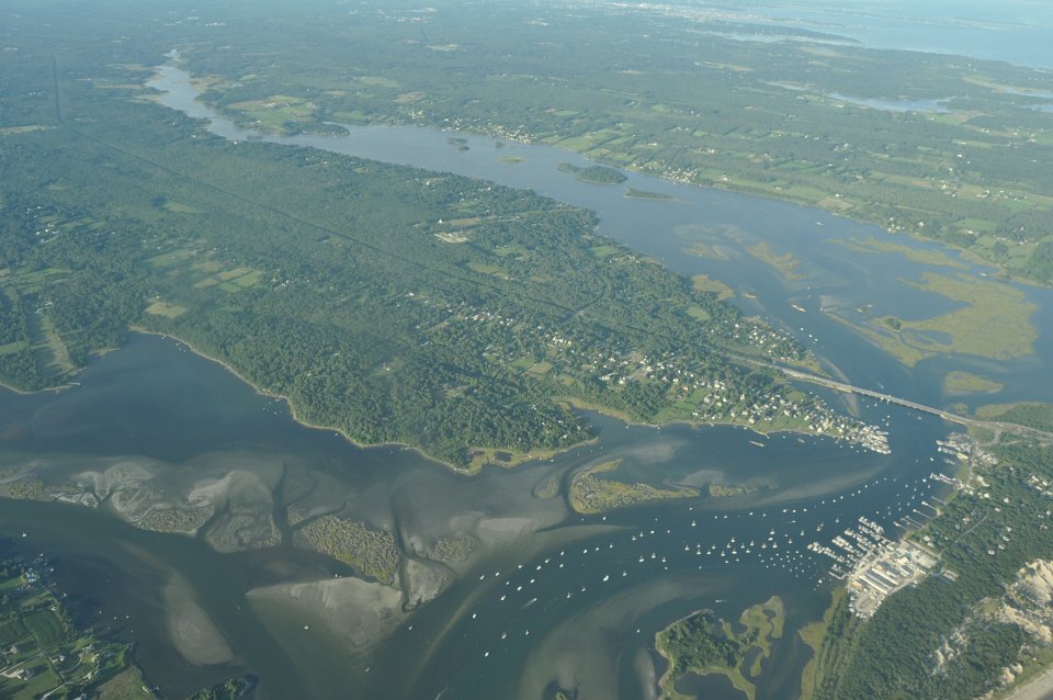
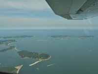
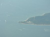
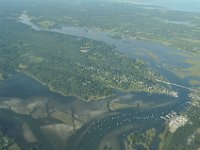
 14 Sag Harbor. |
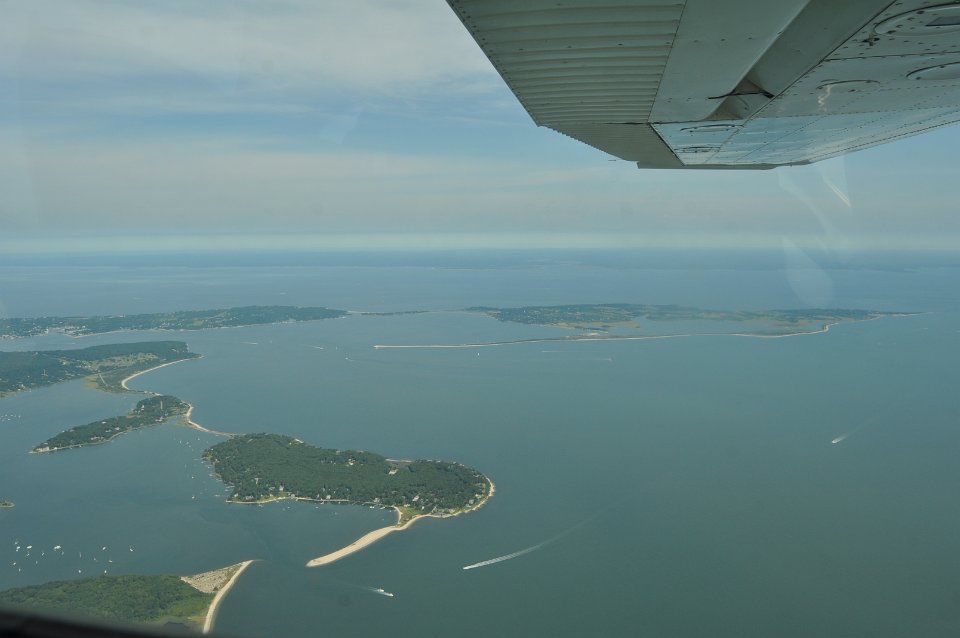
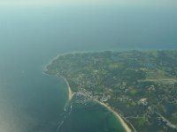
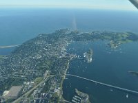
 15 Eastern Tip of the Northfork of Long Island. |
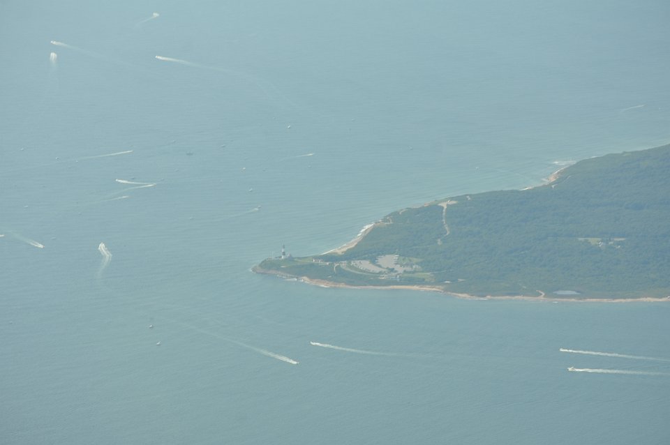
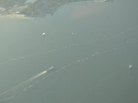
 16 Montauk Lighthouse and a ton of boats cruising around. |
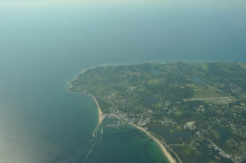
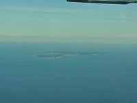
 17 New Shoreham and airport on Block Island. |
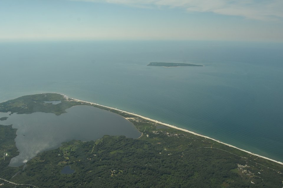
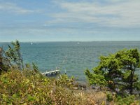
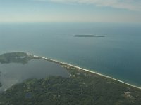 18 Squibnocket Pond on MV. |
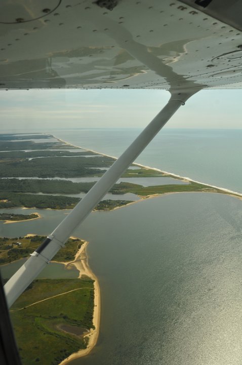
 19 South shore of MV. |
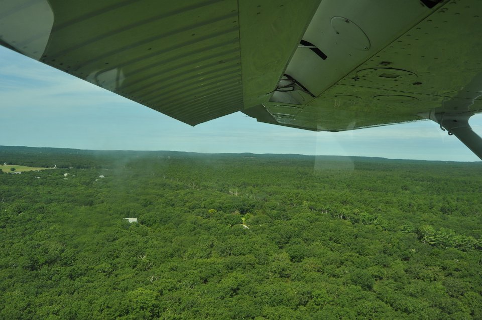
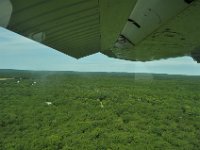 20 MV has a lot of woods. |
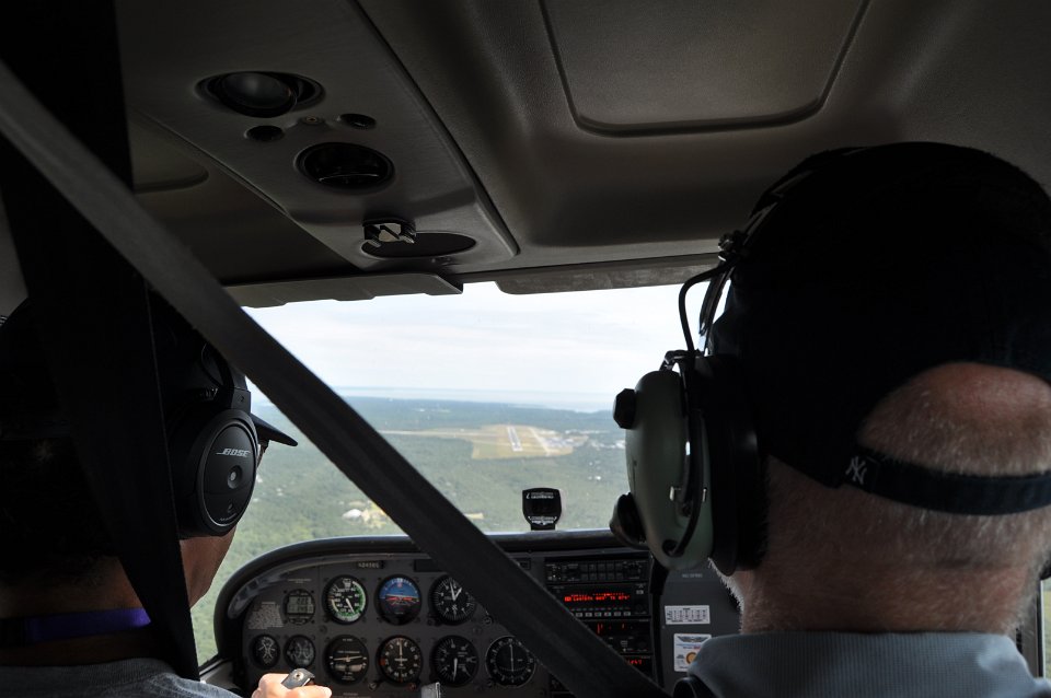
 21 The landing strip of MV airport ahead. |
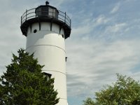 22 East Chop Lighthouse |
 23 Looking northwest, over to Cape Cod |
 24 Massachusetts and Cape Cod on the other side. |
 25 The mood was great. |
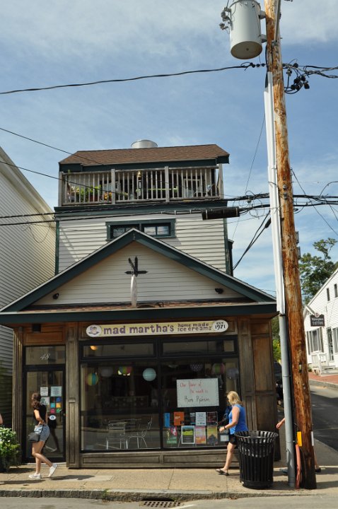
 26 Mad Martha's ice cream shop in Oak Bluff. |
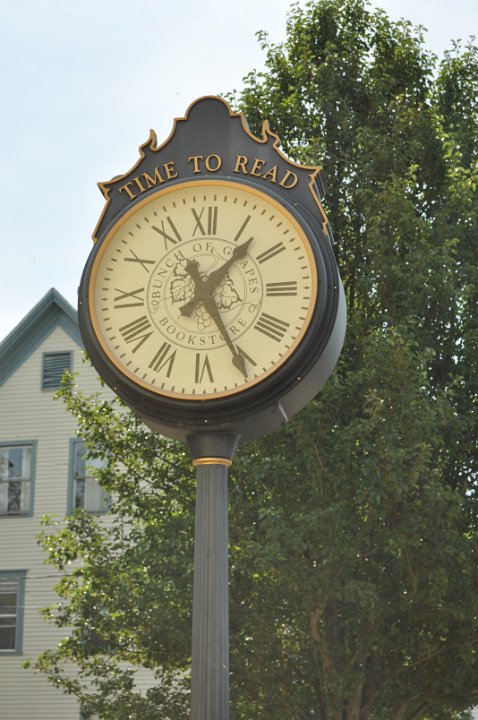
 27 Time to look around, as well. Oak Bluff. |
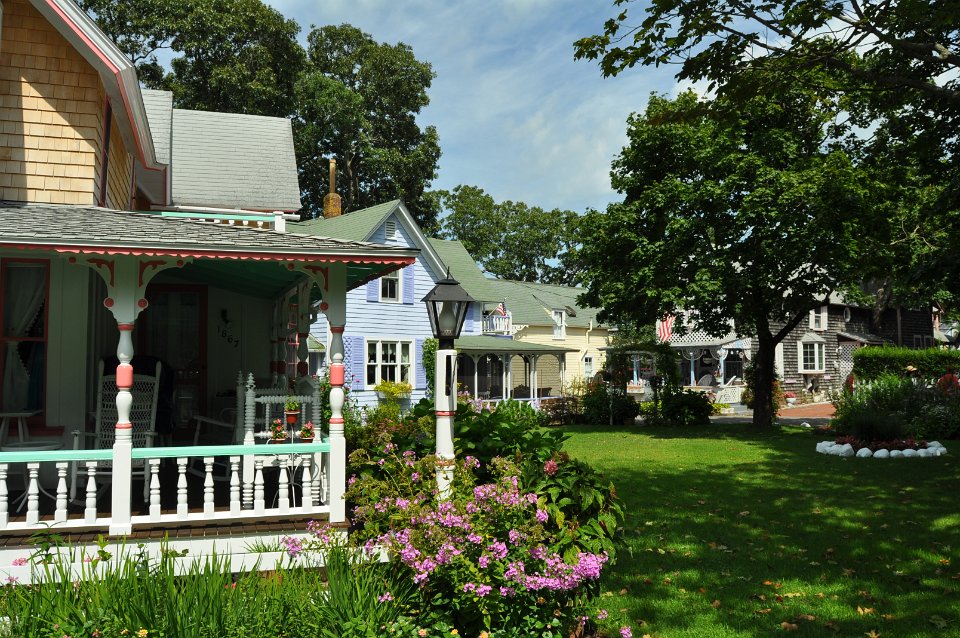
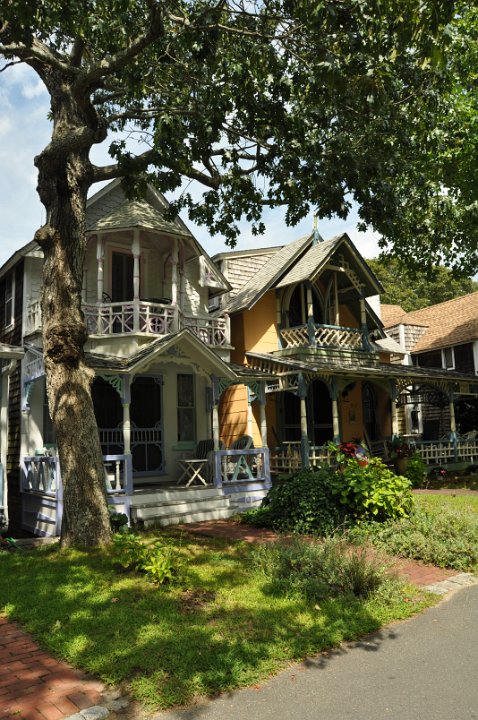
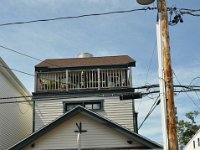
 28 Houses around Trinity Park in Oak Bluff |
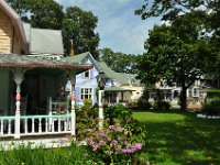
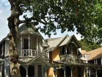 29 Small houses around Trinity Park. Former seamen homes. |
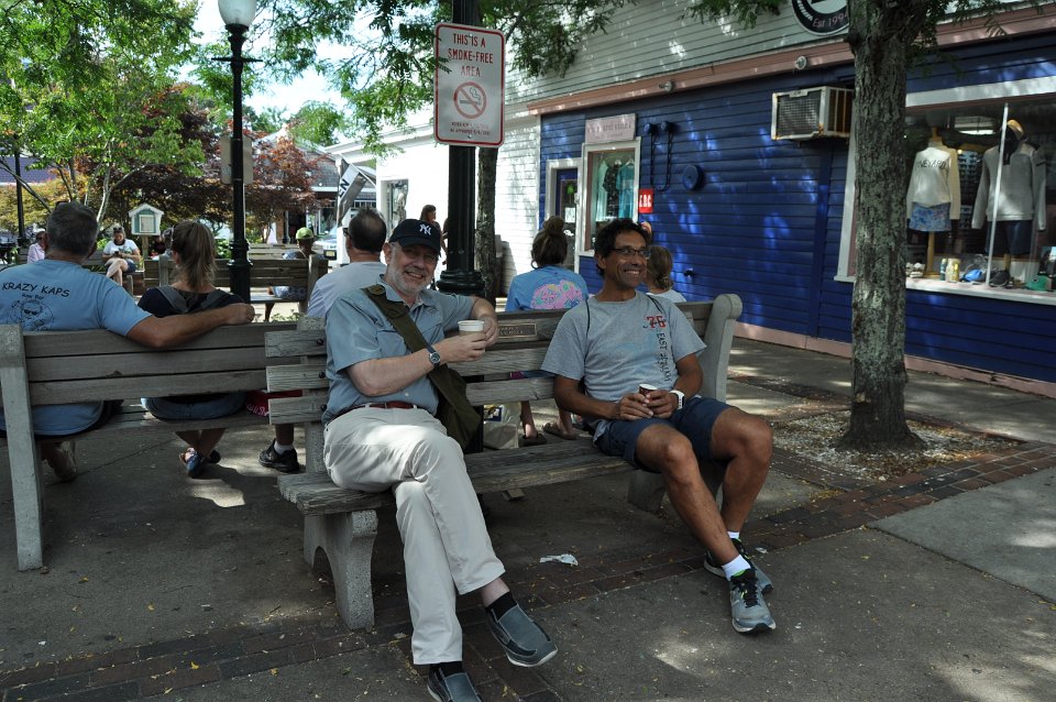
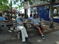 30 A coffee at lunch time. |
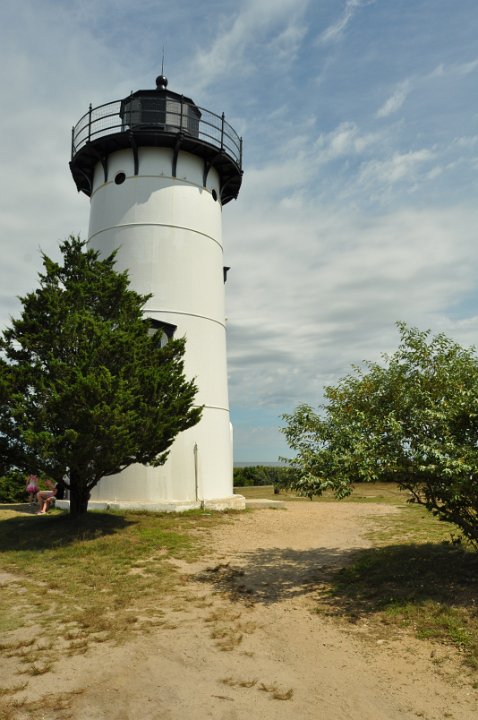
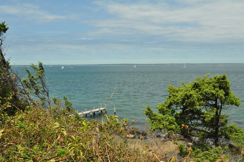
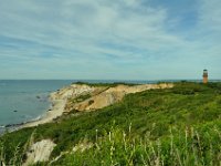 31 Aquinnah Cliffs and Gay Head Lighthouse. |
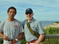 32 Two friends. |
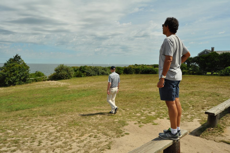
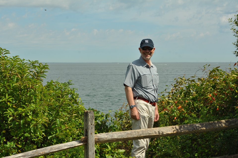
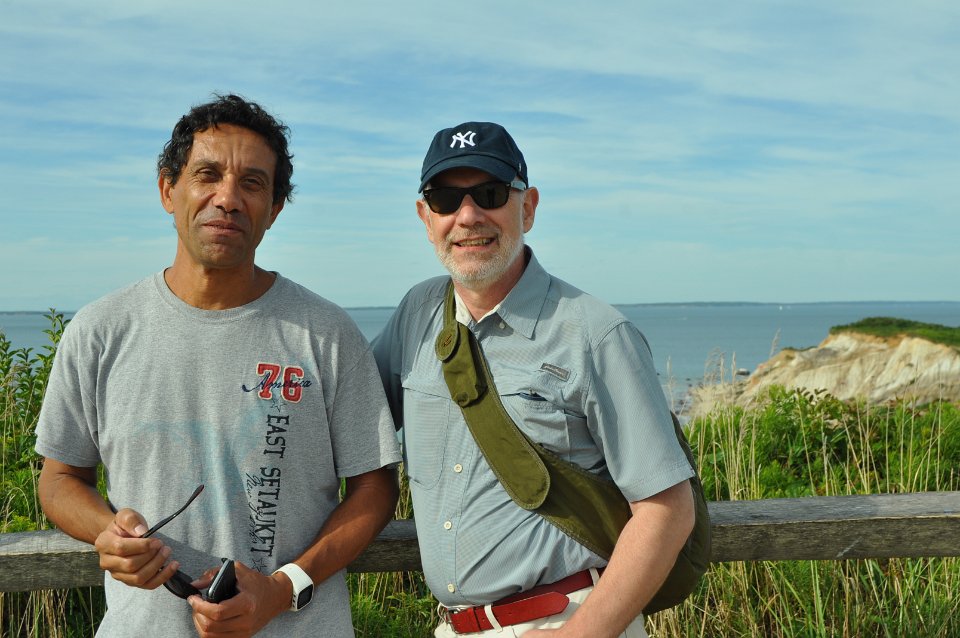
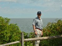
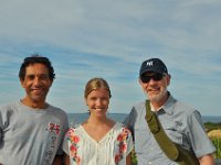 33 The flight crew at Aquinnah Cliffs. |
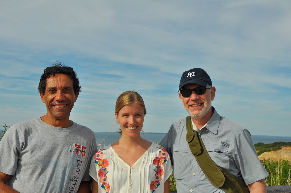
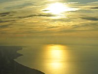
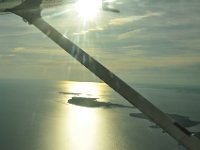 34 The afternoon sun over the Block Island Sound. |
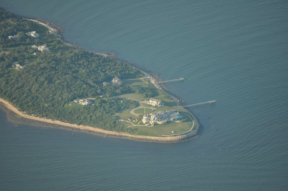
 35 Mishaum Point, obviously a place for the rich. |
 36 Westport Point, boats everywhere. |
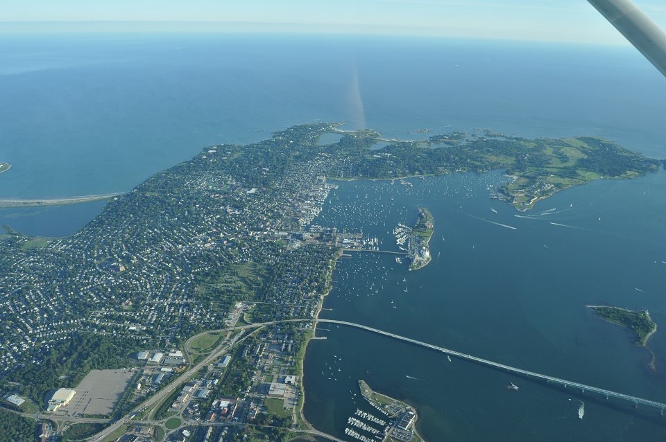
 37 Newport, RI, looking south. |
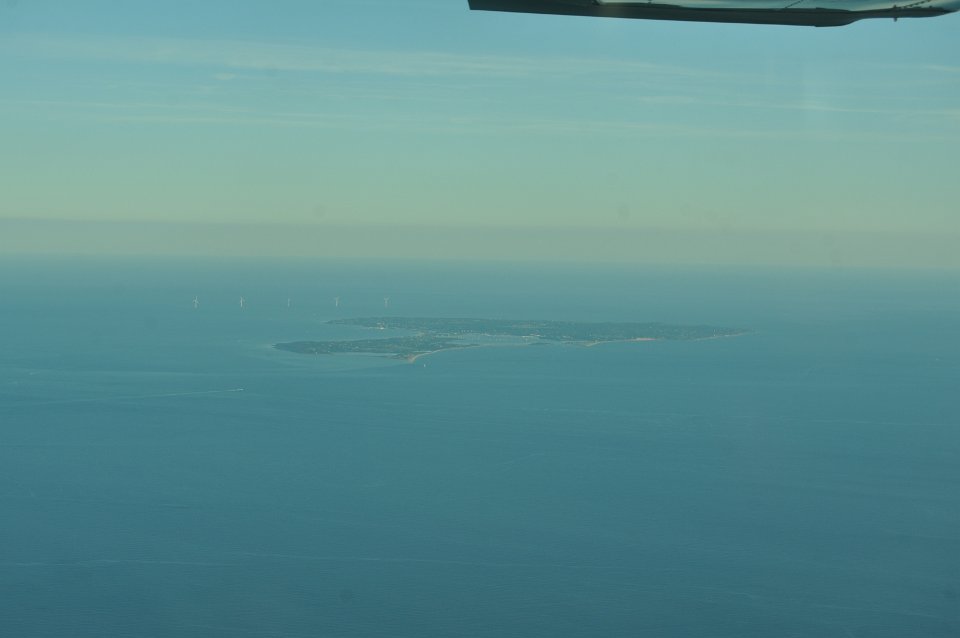
 38 Block Island and an offshore windpark in the distance. |
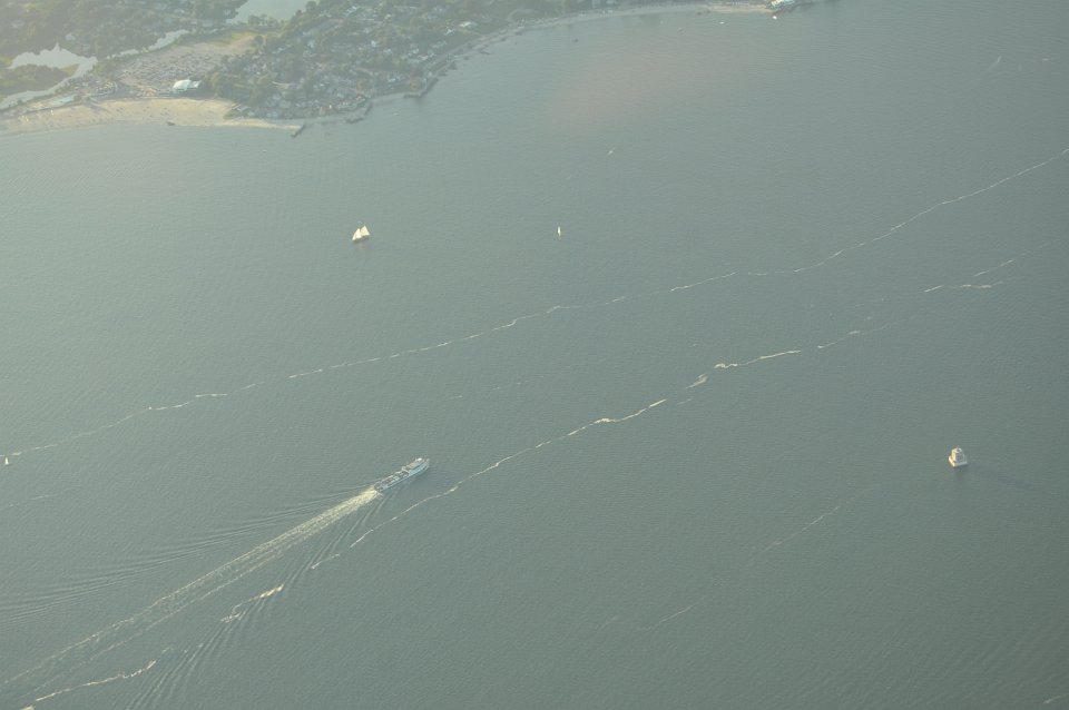
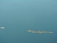
 39 Ferry, sailboat, and lighthouse in the Block Island Sound. |
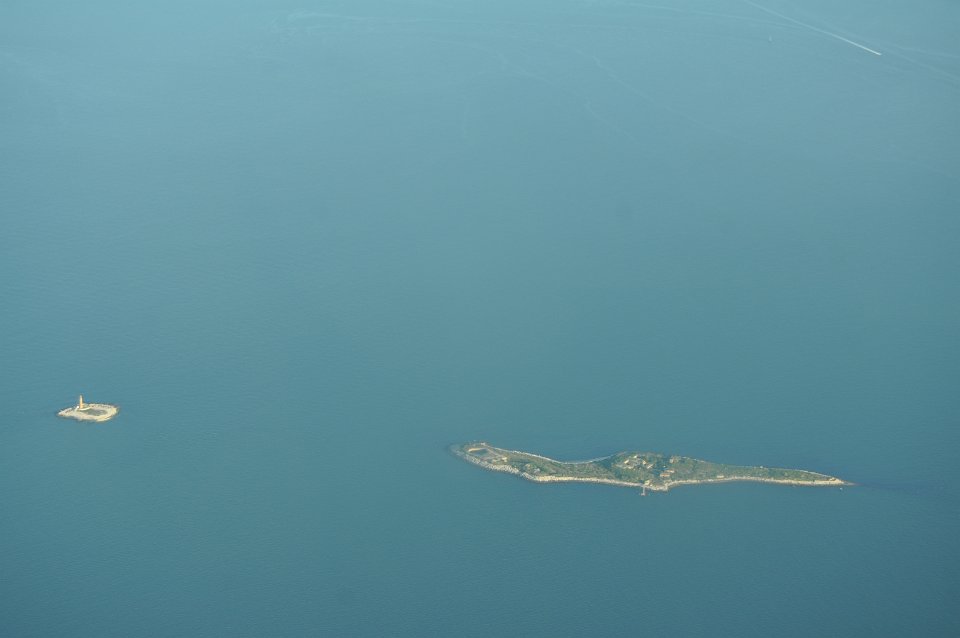
 40 Little Gull and Great Gull Island at the entrance of the Long Island Sound. |
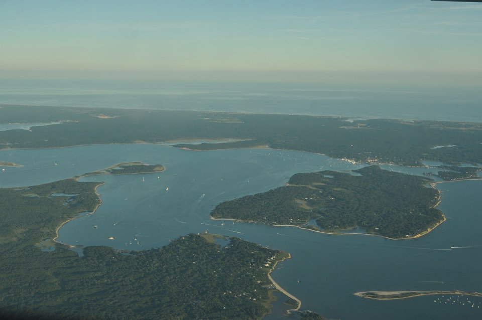
 41 North Haven Peninsula, Sag Harbor in the back. |
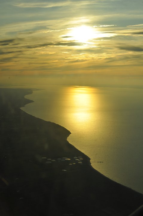
 42 Close to sunset at the north shore of Long Island. |
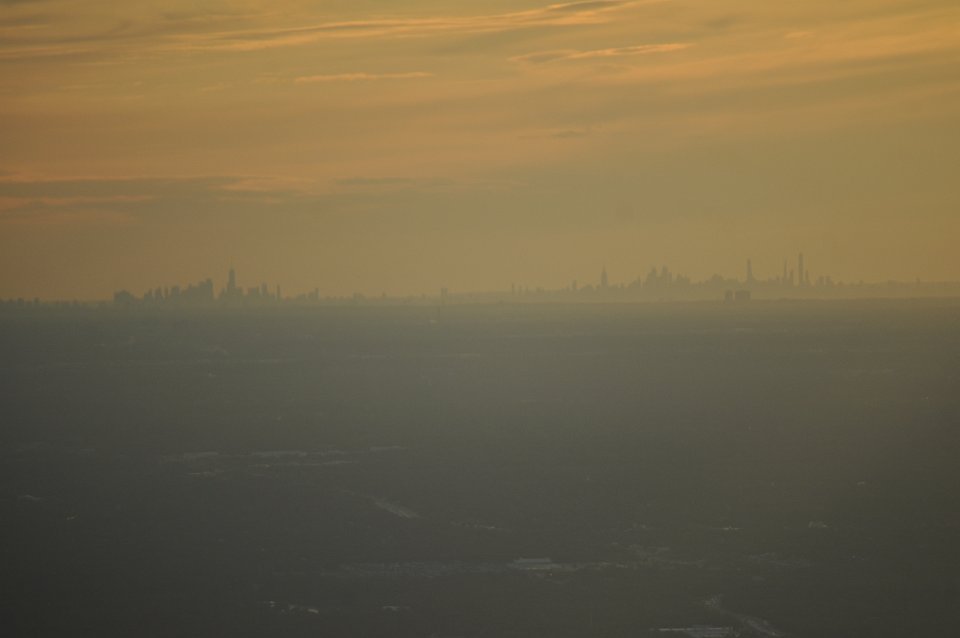
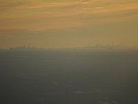 43 The big city in the distance, 50 miles away. |
|